Greater Philadelphia GeoHistory Network
Custom-developed app providing access to the 25,000+ historical maps and aerial images of Philadelphia and the surrounding region.
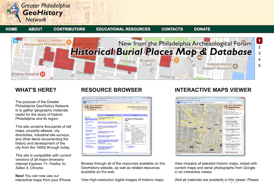
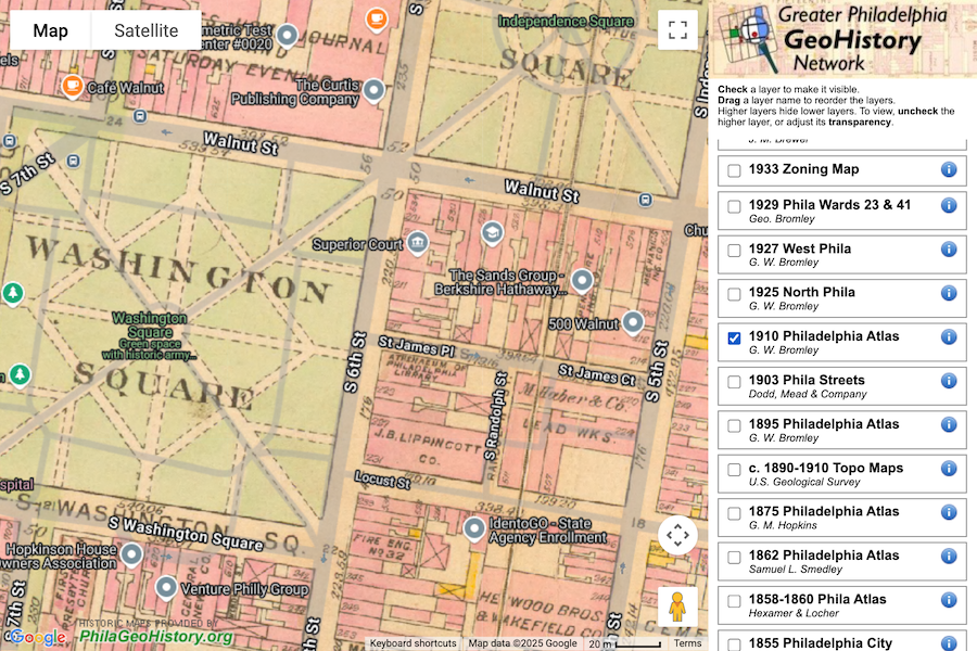
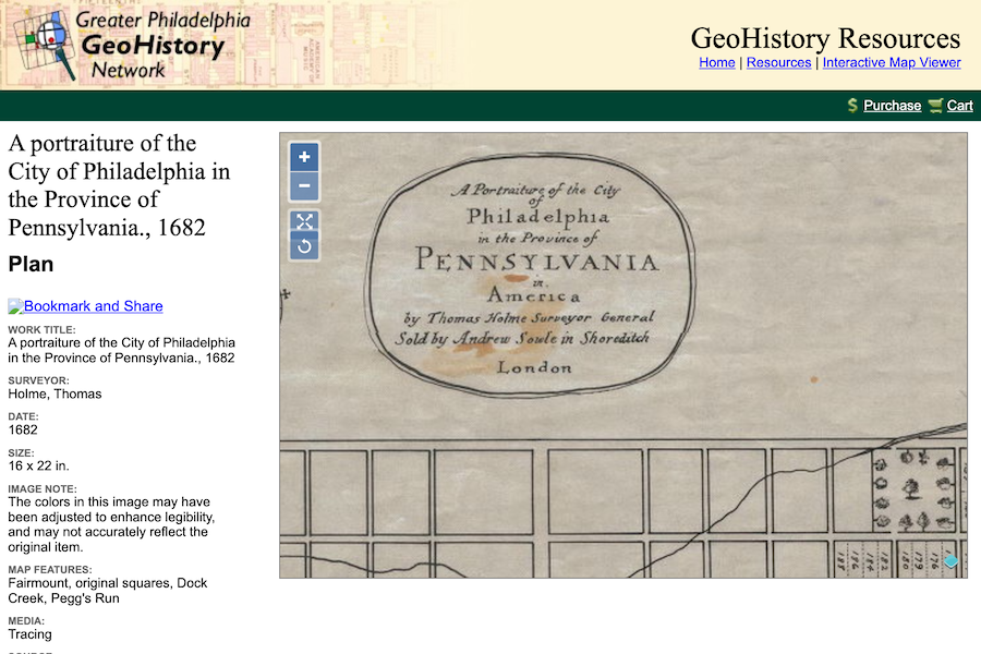
Custom-developed app providing access to the 25,000+ historical maps and aerial images of Philadelphia and the surrounding region.
Let's discuss how we can help bring your technology vision to life.
Start a Conversation